Information on soil moisture and temperature dictates planting schedules and crop development
Submitted by and reprinted with permission from the Sand County Foundation
 The U.S. Environmental Protection Agency (EPA) awarded Sand County Foundation a grant to empower farmers with real-time data about their soil and conservation practices.
This project provides 30 participating growers from Wisconsin and Minnesota with on-farm data of how farm management influences soil trafficability and temperature, nutrient runoff potential and other factors.
The project, titled “Show Me the Data! Empowering Conservation Champions with Innovative Real-Time Soil Metrics,” was awarded $997,383 from the EPA.
The three-year, on-farm initiative involves remote sensing and soil sensors and is one of 12 projects the EPA selected to receive “Farmer to Farmer” grant funding totaling nearly $11 million.
The resulting data will aid farmers in making in-season management decisions based on real-time soil moisture and temperature data.
Soil moisture and temperature are key drivers of agricultural production systems. These factors dictate planting schedules, crop development and the timing of field operations.
“Farmers are seeking real-time data to guide in-season decision making,” says Dr. Heidi Peterson, Sand County Foundation’s vice president of Agricultural Conservation and Research.
MANAGEMENT DECISIONS
She noted that often farmers are forced to rely on anecdotal observations of how their management decisions are affecting a field’s soil moisture and temperature.
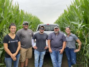
“To meet this need, we teamed up with Farmers Edge and the University of Minnesota to develop this demonstration,” Dr. Peterson explains.
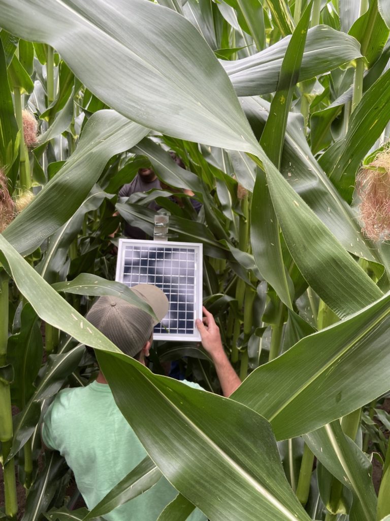
“Sensor technology installed by Farmers Edge allows our participants to compare field data and understand how farm management influences soil properties critical to climate resiliency and nutrient transport,” she notes.
Soil probes were installed across Minnesota and Wisconsin on 15 sets of paired fields. Each pair has soils with similar texture and land position.
Sites with varying management principles were chosen to quantify procedural influence on infiltration, water holding capacity, soil trafficability, leaching potential, aggregate stability and other soil properties critical to improving resiliency and reducing nutrient transport.
In addition to annual soil health and routine sample collection, a Farmers Edge technology subscription to in-field, soil temperature and moisture probe data was employed at each location to provide real-time data for the collaborating farmers.


